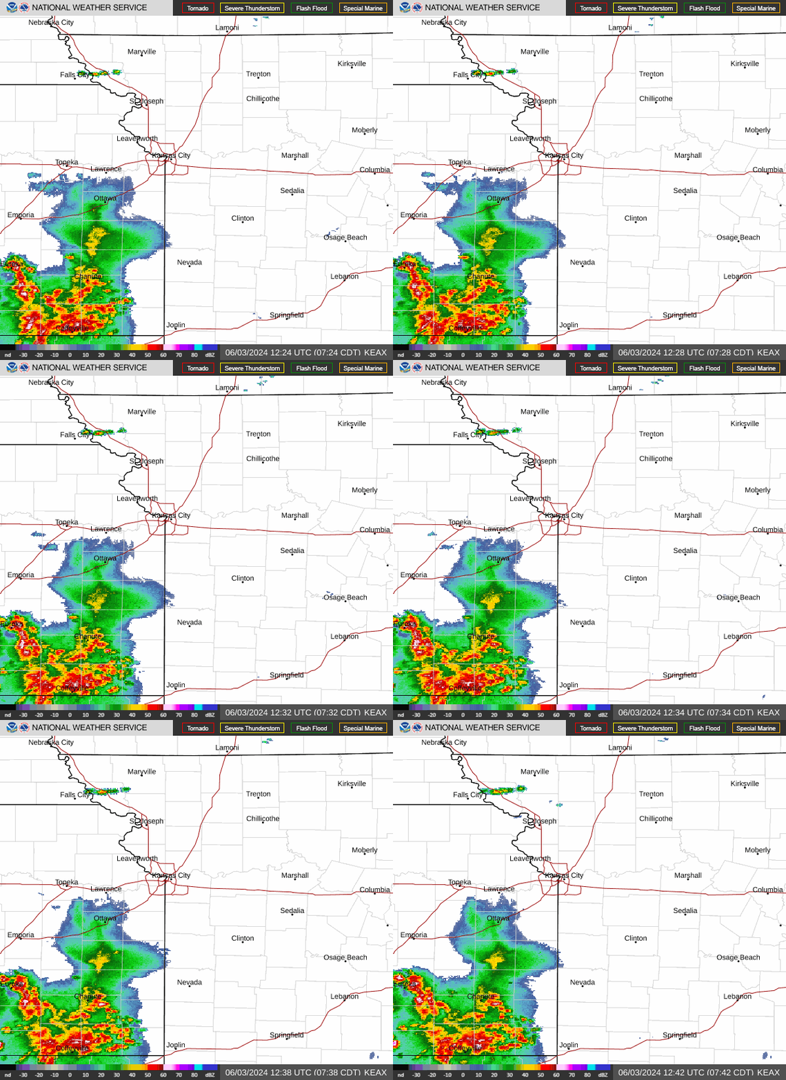
Multiple rounds of stormy weather will move through the Kansas City area, beginning with a cluster of thunderstorms during Tuesday morning’s rush hour, according to the National Weather Service.
Rain showers and thunderstorms were approaching the Kansas and Missouri border at about 7 a.m. Tuesday and are expected to push eastward across the metro and into Missouri by mid-afternoon, the weather service said.
“Gust winds, lightning, and moderate to locally heavy rainfall are the primary threats” from the first round of storms, the weather service said. Downpours could lead to minor flooding in some areas.
Winds of 60 mph will be possible with the storms. There is a chance of severe storms with each round.
Temperatures are expected to be in the mid-70s. Typically, Kansas City sees temperatures of 88 degrees this time of year.

Powerful storms to roll through area
Another round of heavy rains and severe thunderstorms will be possible Tuesday night into Wednesday morning. This round, however, should be a narrow swath that develops across northwest Missouri.
“Rainfall totals will likely vary significantly across relatively short distances, and some locations may see little rainfall,” the weather service said.
The weather service’s forecast discussion highlights the potential for “efficient rainfall makers,” meaning the storms may produce significant amounts of rain in short periods.
The weather service said that areas that received downpours in recent days may be primed for flooding. Wind gusts up to 60 mph, and quarter-sized hail will be possible. The exact positioning of these storms remains uncertain.
August heat returns
Storms are expected to linger into mid-morning Wednesday. The morning’s storm activity will influence whether parts of the Kansas City area will see severe storms later in the day.
Before those storms redevelop, however, warm, humid air will expand across the region. Temperatures will soar to the low to mid-90s. Dew point temperatures will rise into the mid-70s, which could send heat index values to the 100 to 105-degree range. The weather service said some areas may see heat index values climb over 105 degrees.
The hot weather depends on how fast the morning storms end and clouds clear the area.
Another round of storms is expected Wednesday afternoon. The weather service said strong to severe storms would be possible if the atmosphere recharged.
“The Storm Prediction Center has outlined portions of far northwest Missouri and northwest Kansas in a slight risk of (severe storms), with a marginal risk elsewhere,” the weather service said. The slight risk extends to the northern edge of the Kansas City area.
More rain, thunderstorms
Kansas City faces additional chances of rain showers and thunderstorms through the end of the week, according to the weather service.
There’s a chance of showers and thunderstorms, mainly after 1 p.m. on Thursday and continuing into the evening. Afternoon temperatures will be more seasonable, climbing only to the higher 80s.
A pleasant weekend is on tap for the metro. Sunny and dry weather is expected on Friday, Saturday and Sunday. Average temperatures are expected.
A live data feed from the National Weather Service containing official weather warnings, watches, and advisory statements. Tap warning areas for more details. Sources: NOAA, National Weather Service, NOAA GeoPlatform and Esri.
EMEA Tribune is not involved in this news article, it is taken from our partners and or from the News Agencies. Copyright and Credit go to the News Agencies, email news@emeatribune.com Follow our WhatsApp verified Channel


