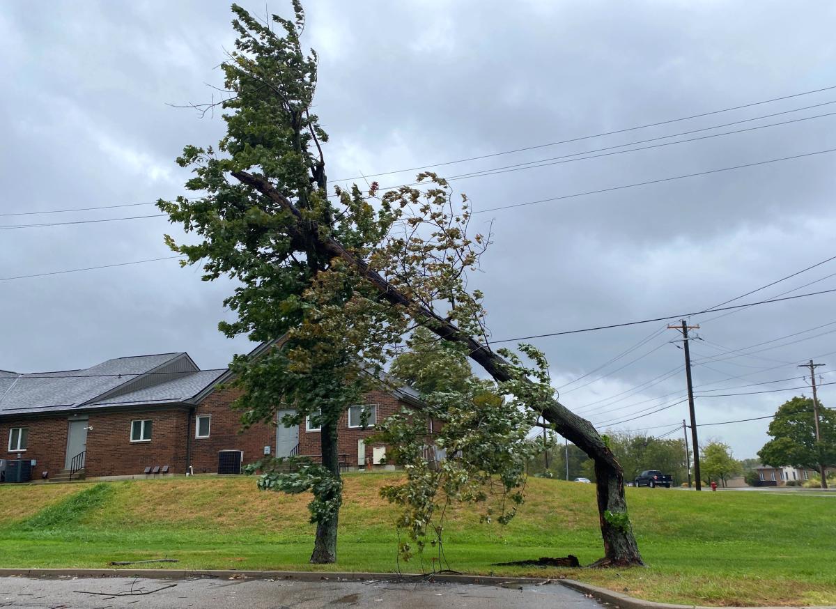
The National Weather Service in Wilmington released a report of the highest wind gusts for each forecast location in the office’s coverage area Friday night.
The highest wind gust was reported in Wilmington, Ohio, at the Wilmington Air Park in Clinton County, according to the National Weather Service. Winds reached 67 mph at 3:53 p.m. Friday.
Cincinnati was home to the second- and third-fastest wind speeds in the region. Cincinnati Municipal Airport Lunken Field experienced winds traveling at 64 mph at 3:30 p.m. Cincinnati/Northern Kentucky International Airport (CVG) experienced winds at 62 mph at 3:09.
The Wilmington office covers southeastern Indiana, southwest Ohio and Northern Kentucky, according to its website.
Here are the highest wind gusts throughout the region Friday:
The numbers and letters that follow these locations refer to the number of miles and in which direction the observation was taken. For example, “Vanceburg 6 W” means the observation was taken 6 miles west of Vanceburg.
-
Wilmington Air Park, 67 mph, 3:53 p.m.
-
Cincinnati Municipal Airport Lunken Field, 64 mph, 3:30 p.m.
-
Cincinnati/Northern Kentucky International Airport, 62 mph, 3:09 p.m.
-
Dayton Wright Brothers Airport, 62 mph, 4:11 p.m.
-
Springfield-Beckley Airport, 58 mph, 5:29 p.m.
-
Chillicothe, 56 mph, 4:44 p.m.
-
Wright-Patterson Air Force Base, 56 mph, 5:24 p.m.
-
Vanceburg 6 W,* 55 mph, 12:30 p.m.
-
Dayton International Airport, 55 mph, 5:00 p.m.
-
Fleming-Mason Airport, 54 mph,12:35 p.m.
-
Warren County Airport, 53 mph, 3:55 p.m.
-
Butler County Regional Airport, 52 mph, 4:10 p.m.
-
Fayette County Airport, 51 mph, 4:55 p.m.
-
Columbus John Glenn International Airport, 48 mph, 4:54 p.m.
-
Ross County Airport, 48 mph, 5:15 p.m.
-
Maysville 3 SW,* 48 mph, 1:15 p.m.
-
Falmouth Gene Snyder Airport, 47 mph, 1:44 p.m.
-
Columbus Rickenbacker International Airport, 47 mph, 3:55 p.m.
-
Middletown Hook Field, 47 mph, 4:35 p.m.
-
Columbus Ohio State University, 46 mph, 4:47 p.m.
-
Burlington 4 S,* 45 mph, 3:40 p.m.
-
Richmond Municipal Airport, 45 mph, 4:55 p.m.
-
Crittenden, 44 mph, 1:56 p.m.
-
Fairfield County Airport, 44 mph, 3:24 p.m.
-
Madison County Airport, 44 mph, 5:35 p.m.
-
Owenton 5 E,* 44 mph, 2:15 p.m.
-
Big Oaks,* 43 mph, 3:47 p.m.
-
Alexandria 5 NW,* 43 mph, 12:50 p.m.
-
Xenia Greene County Airport, 41 mph, 5:15 p.m.
-
Versailles Darke County Airport, 40 mph, 5:15 p.m.
Observations come from a variety of automated stations, the National Weather Service told The Enquirer. Some weather instruments are owned by county airports, not the weather service, but the weather service has access to the data.
This article originally appeared on Cincinnati Enquirer: Cincinnati airports log fastest winds in region amid Helene storms
EMEA Tribune is not involved in this news article, it is taken from our partners and or from the News Agencies. Copyright and Credit go to the News Agencies, email news@emeatribune.com Follow our WhatsApp verified Channel


