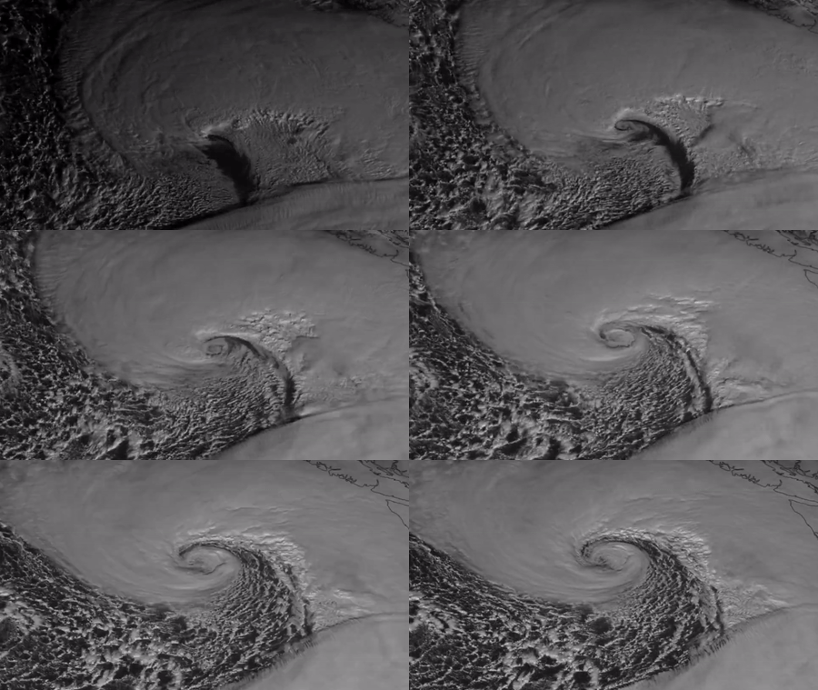
“Captivating” satellite imagery shows a low-pressure system heading for the Pacific Northwest on Tuesday, November 19.
The National Weather Service (NWS) said the “powerful” system would produce “significant high wind impacts and heavy mountain snow across the Northwest, while a strong atmospheric river takes aim at Northern California by Wednesday.”
Satellite imagery provided by the Cooperative Institute for Research in the Atmosphere at Colorado State University and the National Oceanic and Atmospheric Administration shows the storm, which by Tuesday afternoon had produced sustained winds of 56 mph, the NWS said. Credit: CSU/CIRA & NOAA via Storyful
EMEA Tribune is not involved in this news article, it is taken from our partners and or from the News Agencies. Copyright and Credit go to the News Agencies, email news@emeatribune.com Follow our WhatsApp verified Channel


