Forecasters are increasingly calling for a cold, soggy Thanksgiving week as west-to-east winter-pattern storms continued to roll across the continental landscape.
The possibly wet, snowy and cold weather could meet what’s anticipated to be the busiest Thanksgiving travel week to-date, the Transportation Security Administration said.
An active weather pattern will persist through the holiday week across much of the country, NBC News meteorologists said Saturday. While confidence in the details was low, Wednesday and Thursday could feature a rain- and snow-producing storm system, they said.
Advertisement
Advertisement
A diagonal, low-pressure front accompanied by rain, snow and dipping temperatures was possible for the Mid-Atlantic and Northeast on Thanksgiving, the federal Weather Prediction Center said.
The diagonal front may span from Mississippi to Pennsylvania, with snow dependent on temperature, according to the center.
The National Weather Service office that covers Chicago has snow and related travel impacts possible from Kansas City, Missouri, to Cleveland on Thanksgiving, with specific amounts difficult to forecast at this time, it said.
The National Weather Service office for Minneapolis said in a forecast discussion that ice-cold air was likely to arrive midweek.
Advertisement
Advertisement
“Thanksgiving Day proper is when the arctic front arrives,” the weather service said. “The biggest impact of this boundary will be the well below normal temperatures we’ll have to end the month. … We’ll likely have sub-zero wind chills to start Black Friday.”

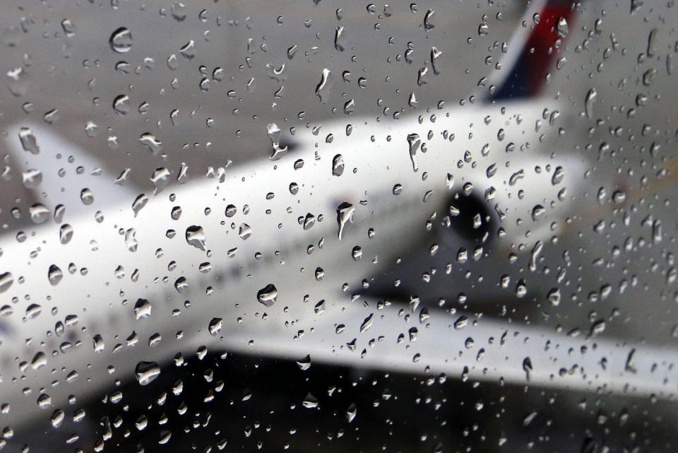
A plane sits on the tarmac behind rain drops on a window at Boston Logan International Airport in 2014.
A storm off the Pacific Northwest coast will move into parts of Oregon and Northern California early in the week, bringing with it rain as well as snow at the 3,000- to 4,000-foot level, the National Weather Service office in Portland, Oregon, said.
It said the system will then move into the Midwest, where widespread snow was forecast.
Such a weather pattern for precipitation would follow the month’s winter-style cycles that have seen storms from the Pacific Northwest crank south and east and travel across the nation’s midsection, often bringing snow in higher elevations and rain elsewhere.
Advertisement
Advertisement
More in U.S.
The last such storm, a front accompanied by an atmospheric river of streaming precipitation aloft, struck Washington, Oregon and the northern reaches of California this week, killing two and producing historic rain.
Santa Rosa, California, recorded nearly 12.5 inches of rain in three days, which the weather service office in Monterey said was a 1,000-year event.
The TSA forecast a record event for the week, as 18.3 million people were expected at its security screening locations from Tuesday to Dec. 2. AAA estimates 71.7 million travelers will be on the nation’s roadways during the week.
The Airport Corridor Transportation Association based near Pittsburgh, recommended that people traveling by road stay with their vehicles if they get stuck in snow and tie something bright to an antenna or other high point to alert first responders.
Advertisement
Advertisement
Car heaters can be used, it said, but only for about 10 minutes per hour to avoid carbon monoxide poisoning. Windows should be opened slightly for the same reason, the association said.
And before embarking on journeys, the association said vehicles should be equipped with emergency and first aid kits, checked for worn tires, and gassed up properly.
Though the weather may be acting winter-like, the first day of astronomical winter isn’t for nearly a month: Dec. 21.
This article was originally published on NBCNews.com
EMEA Tribune is not involved in this news article, it is taken from our partners and or from the News Agencies. Copyright and Credit go to the News Agencies, email news@emeatribune.com Follow our WhatsApp verified Channel


