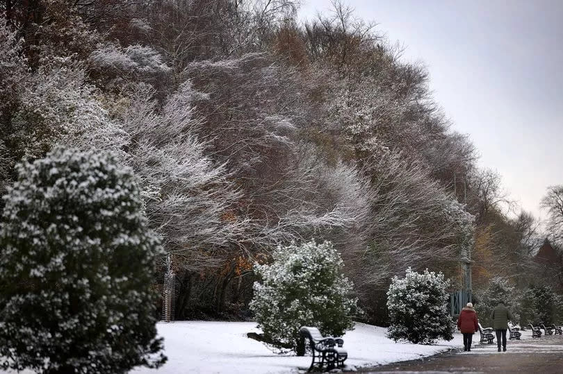
We’re all keen to hear when a snowy spell is coming and the Met Office has been giving its verdict for the month ahead.
Some sources have suggested that the UK is going to be set for 168 hours of ‘non-stop’ blizzards, with temperatures plummeting to -7C.
Weather charts from WXCharts show that snowy conditions will hit a few areas of the UK at around am on December 8 and are expected to continue till 12 noon December 15.
It says Manchester will be one of the places affected, with the worst day expected to be December 15.
But according to the Met Office, there is no mention of such disruption.
Read more: Greater Manchester weather forecast this weekend with sunny intervals amid rain
In its long range UK weather forecast it says that between December 4 and 13, there’ll be ‘spells of rain and strong winds for many areas, though interspersed with quieter interludes’.
“Overall, rain is most likely across the north and west, while southeast parts may be relatively drier, though not completely dry,” it says.
“Moving into the second week of December, there are signs of more settled weather developing more widely, especially across the south and southwest of the UK. This may well bring a spell of mainly dry conditions in these areas, probably with patchy overnight frost and fog.

“Any outbreaks of rain and wind in this period are more likely to affect the north. Temperatures will vary around average for December, with some milder and some colder days.”
Following that, in its forecast for the second half of the month, it says conditions will be ‘more unsettled’ for a time.
“Frontal systems may still affect north and north west UK at times, although probably fairly weak,” it says. “Moving into the second half of December, a period of more unsettled conditions appears likely for a time, bringing a greater prevalence of rain and showers to most areas but especially the north west.
“Some of the showers could be wintry, especially on high ground. Later in the month, there are signals that higher pressure may become re-established, with more settled conditions likely to develop, particularly across the south. Temperatures are likely to be around average overall, with colder interludes bringing frost and fog.”
EMEA Tribune is not involved in this news article, it is taken from our partners and or from the News Agencies. Copyright and Credit go to the News Agencies, email news@emeatribune.com Follow our WhatsApp verified Channel


