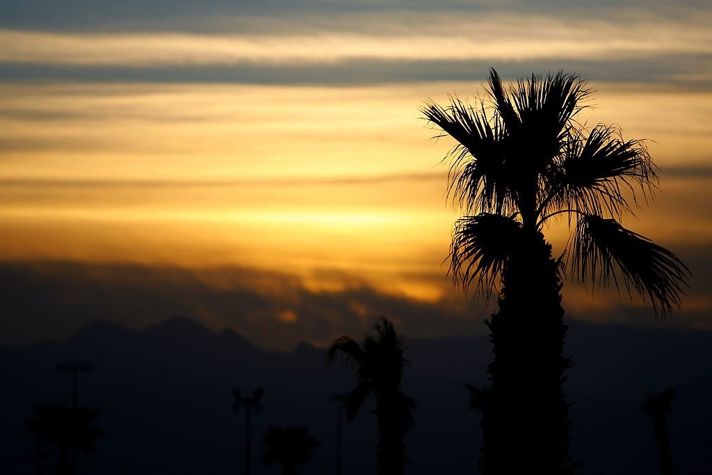
The month of October was the hottest one on record in Las Vegas, according to National Weather Service data. Las Vegas also hasn’t had measurable rain in more than 160 days.(Photo by Rusty Jarrett/Getty Images)
As Nevada heads into the winter months, the state’s water reserves will largely depend on the amount of precipitation and snowmelt that hits the state over the next several months.
Water levels in Lake Mead, the largest water source for Southern Nevada, are nearly 18 feet higher this fall than two years ago, when the lake hit an all-time low. That improvement is in part due to robust conservation efforts, mandatory cuts, and two consecutive above-average winters.
Advertisement
Advertisement
Although Lake Mead is in better shape, it is still at its second-lowest point over the past five years, meaning the state will need another wet winter to shore up water reserves.
While it is still too early to say whether snow water percentages will be above normal or not, there are some positive signs.
As of mid-December, the Upper Colorado Basin snowpack — a major source of water for Lake Mead — is 89% of the median. Precipitation in the Upper Colorado Basin is predicted to remain above normal throughout January, according to the National Oceanic and Atmospheric Administration.
Snow water amounts across northern Nevada and the Eastern Sierra, a major water source for Lake Tahoe, are above normal and range from 106% to 157% of median for this time of year.
Advertisement
Advertisement
Wetter conditions in the Sierra Nevadas will also likely continue in the short term, as a major storm system over northern California was expected to deposit 2 to 8 inches of precipitation, according to the NOAA Weather Prediction Center.
However, there are still three months of winter ahead for Nevada’s water year, meaning current snow water amounts represent just 25-30% of median springtime peak amounts for most basins. That leaves plenty of room for improvement, or worsening conditions.
Another potential weather event that may impact snowpacks in the west this winter is La Niña, a weather phenomenon that often leads to less precipitation and warmer temperatures in the southern tier of the U.S., including Nevada and parts of the Colorado Basin. The weather pattern can also lead to more snowfall in other parts of the western U.S., particularly in the Pacific Northwest and northern Rockies.
The Climate Prediction Center issued a La Niña watch in December, meaning conditions are favorable for the development of La Niña within the next six months. However, it’s expected to be weak, which would likely create a less dramatic impact to weather. By spring, neutral weather conditions should return, according to Scott Handel, a meteorologist with the NOAA Climate Prediction Center.
Advertisement
Advertisement
More in U.S.
“We’re knocking on the door of a weak La Nina,” said Handel during a December press call. “Looking into the future, an emergence of La Nina is the most likely scenario as we head into the winter.”
“There’s a greater than a 70% chance of La Nina occurring during the December, January, February period. Chances of a strong La Nina are exceedingly small, with a near zero chance of occurrence this winter,” he continued.
Drought in southern Nevada has expanded since September due to drier-than-normal conditions and abnormally high fall temperatures. The month of October was the hottest one on record in Las Vegas, according to National Weather Service data. Las Vegas also hasn’t had measurable rain in more than 160 days.
Spring Mountains, the largest source of groundwater recharge for southern Nevada, is still waiting for snow to start accumulating. Lack of snowpack on the mountain range by this time of year is a significant anomaly compared to historical data.
Advertisement
Advertisement
Drought conditions in southern Nevada are expected to persist into spring next year at minimum, according to the National Weather Service. Temperatures throughout nearly all of Nevada are also expected to remain above average throughout January, according to NOAA.
Nationally, 2024 had the warmest fall on record, with nearly 39% of the contiguous U.S. in drought.
“It is virtually certain, with one month remaining in the year, that 2024 will be the warmest year on record,” said Karin Gleason, the Monitoring Section Chief for NOAA’s National Centers for Environmental Information, during a press call in December.
EMEA Tribune is not involved in this news article, it is taken from our partners and or from the News Agencies. Copyright and Credit go to the News Agencies, email news@emeatribune.com Follow our WhatsApp verified Channel


