The Ohio River hit a crest of 28.3 feet Thursday afternoon, swelling into the Louisville area following Kentucky’s heavy rains and upstream flooding, according to preliminary data from a river monitor above the McAlpine Locks and Dam.
Thursday’s crest is far from the record, a title belonging to the monster flood of January 1937, which crested at 52 feet at the upper gauge. But this week’s river levels are the highest measured at McAlpine’s upper gauge since March 2021.
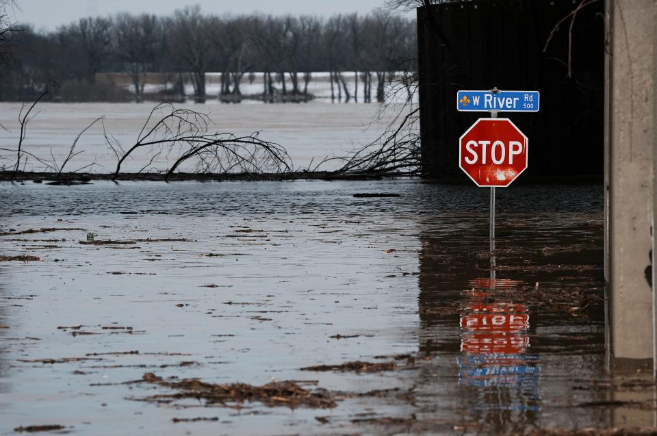
The river swallowed up River Road along Louisville’s waterfront and crept up toward Main Street downtown. As the Ohio spilled over its banks, officials closed streets and activated flood protection infrastructure.
Advertisement
Advertisement
By Friday morning, the river appeared to be receding from its crest, having lowered by several inches overnight.
Nearly all of Kentucky sits in the Ohio River basin, and Louisville is now seeing the culmination of torrential rains in the eastern reaches of the state draining downstream. For example, the 7,000-square-mile watershed of the Kentucky River, which surged this past week following heavy precipitation, empties into the Ohio River at Carrollton before meandering down to Louisville.
Louisville’s flood protection infrastructure
The Louisville Metropolitan Sewer District is responsible for maintaining the city’s flood protection system and keeping floodwaters out of streets and neighborhoods.
The infrastructure is about 70 years old, with 26 miles of concrete flood walls and earthen levees and a network of 16 pump stations. The pumps send water accumulating inside the city out to the Ohio River.
Advertisement
Advertisement
The system protects an estimated 200,000 people and about $24 billion in property value, according to MSD.
Crews also installed flood wall closures around the city this week and manned pump stations as the Ohio River swelled. MSD has pumped billions of gallons of stormwater out of the city from the past week’s severe weather, according to the district.
In a 2017 report, MSD estimated it would need to spend more than $2 billion in capital improvements on stormwater infrastructure, including more than $600 million on the Ohio River flood protection system, over the following two decades. Funding has been scarce.

The Ohio River can be seen overflowing its banks at Sixth Street and River Road in downtown Louisville, Ky., on Feb. 19, 2025.
In addition to stormwater management and flood protection, MSD is also responsible for wastewater infrastructure, together amounting to significant costs.
Advertisement
Advertisement
More in U.S.
The district has taken on billions of dollars in debt and levied higher utility rates year after year to keep up with costs, and in October, local elected officials called for a state audit of the district’s finances.
Connor Giffin is an environmental reporter for The Courier Journal. Reach him directly at cgiffin@gannett.com or on X @byconnorgiffin.
This article originally appeared on Louisville Courier Journal: Ohio River 2025 flooding crest compared to Louisville record floods
EMEA Tribune is not involved in this news article, it is taken from our partners and or from the News Agencies. Copyright and Credit go to the News Agencies, email news@emeatribune.com Follow our WhatsApp verified Channel


