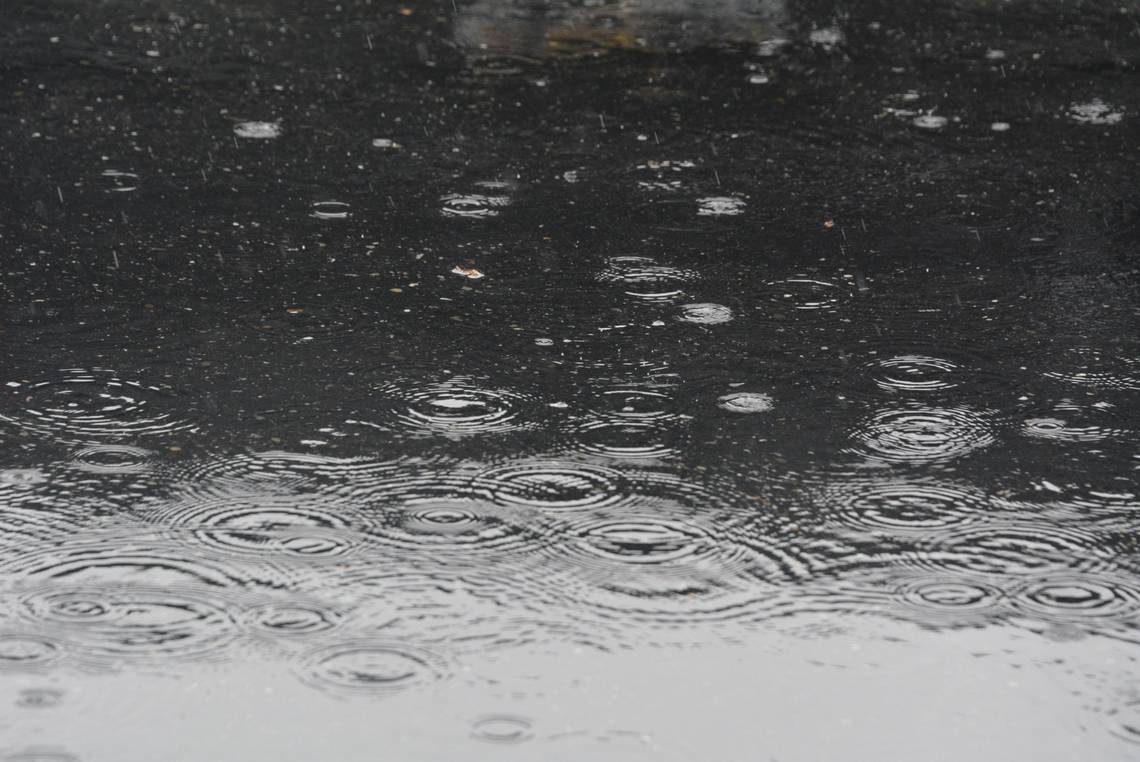
A pair of wet and windy storms called atmospheric rivers are heading toward Western Washington, causing the Nooksack River to rise and dumping snow as low as 4,000 feet in the North Cascades, forecasters at the National Weather Service said in a statement.
Heavy rain early next week could set the stage for flooding and mountain snowfall could close Mount Baker Highway for the season.
WA flood season right around the corner. Here’s how experts say to prepare in La Niña year
“Expect significant rises on area rivers next week. While river flooding is not currently forecast, these systems will at the very least prime the region for flooding as we move deeper into fall,” the weather service said.
“The system arriving on Monday is expected to bring modest rain amounts, with breezy conditions in Puget Sound. The second system arriving Tuesday afternoon appears stronger, bringing more rain, gusty winds, and snow levels down to around 4,000 feet,” the weather service said.
No weather advisories were issued.
Meanwhile, this weekend looks like that last sunny and warm days before a week of rain arrives.
Highs near 70 degrees are expected on Saturday and Sunday, with overnight lows in the 50s.
EMEA Tribune is not involved in this news article, it is taken from our partners and or from the News Agencies. Copyright and Credit go to the News Agencies, email news@emeatribune.com Follow our WhatsApp verified Channel


