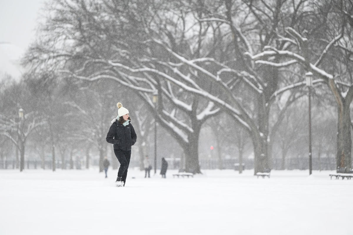
Over 175 million people across the country are under some form of cold weather alert as the mid-Atlantic and Northeast ready for another round of rain and snow and southern states brace for frigid temperatures and rare snowfall.
The cold comes on the tail of another system that brought scattered rain and snow to parts of the East Coast on Saturday.
Varying levels of cold weather alerts will be in effect across much of the country over the next couple of days as a “bitterly cold Arctic airmass” drops temperatures 10 to 40 degrees below average, according to the National Weather Service.
Advertisement
Advertisement
Cold weather alerts stretch from northern-tier states along the Canadian border to the Gulf of Mexico. The most extreme cold will grip the northern Plains and the Rocky Mountains, where wind chill values will dip as low as minus 30 to minus 55 degrees.
‘Substantial snowfall’ forecast in Houston
In Houston, where temperatures were plunging to freezing and below Sunday night, officials were contending with a separate low pressure-driven storm that was expected to produce rain, then freezing rain, then snow Monday into Tuesday, federal forecasters said.
Houston’s George Bush Intercontinental Airport was scheduled to close at 12 a.m. local time Tuesday, and the Houston Independent School District and other public schools in the region were also closing Tuesday in response to the weather.
The National Weather Service said in a forecast discussion Sunday that “snow totals would place this as one of the most substantial snowfall events in the history of the Greater Houston Area.”
Advertisement
Advertisement
Mayor John Whitmire said city crews were using deicing chemicals on roads, but he urged motorists to stay put during the storm. “I’ve been convinced that we are about to experience a very serious and dangerous weather episode,” he said at a news conference Sunday.
The storm was expected to make its way east along the Gulf Coast and southeast United States on Tuesday, the National Weather Service said in a forecast discussion.
Rare snow was expected in Mobile, Alabama, and as far east as Pensacola, Florida, the weather service said, with accumulations on the ground and 1 to 4 inches possible starting Tuesday.
Mid-Atlantic and Northeast forecast
On Sunday afternoon, scattered snow and rain began pushing their way through the Mid-Atlantic and the Northeast.
Advertisement
Advertisement
More in U.S.
Snowfall totals as of Sunday evening include 12 inches in Grantsville, Maryland, and 5.2 inches in Uniontown, Pennsylvania.
The snow was expected to come to an end late Sunday or early Monday as the system moves to the Northeast, affecting states along the Interstate 95 corridor. Snow totals of 2 to 6 inches are possible. Lingering snow showers will persist in New England early Monday, with most snow ending by sunrise.
In Hartford, Connecticut, the weather service reported light snow falling Sunday night, with only trace amounts recorded so far.
New York Gov. Kathy Hochul directed state agencies to prepare to respond to the storm, which could bring 4 to 6 inches of snow to New York City, 2 to 3 inches to Long Island and up to 10 inches to the mid-Hudson region.
Advertisement
Advertisement
“New Yorkers are no stranger to winter weather, but I encourage everyone to make sure you and your family are prepared for the snow and extreme cold, exercise caution if traveling and continue to monitor your local forecast,” Hochul said in a statement.
Earlier Sunday night a few inches of snow fell in New York City, with the Crown Heights section of Brooklyn reporting 3 inches.
Also in New York, lake effect snow will develop downwind of Lake Ontario and Erie. Totals through Sunday night will range from 2 to 6 inches, with up to 8 inches possible in some areas. Light snow was reported in Buffalo and Albany late Sunday.
Philadelphia city officials on Sunday night announced a “snow emergency” that prohibits parking on major routes and other streets designated for first responder use during the storm, according to a statement.
Advertisement
Advertisement
New Jersey Gov. Phil Murphy declared a state of emergency, which went into effect Sunday morning. Murphy urged residents to follow safety protocols and stay off the roads, as about 8 to 12 inches of snow was expected in parts of the state.
In Boston, around 4 to 8 inches of snow was expected to fall from Sunday afternoon into Monday morning.
The week ahead
Conditions in areas impacted by the Arctic blast will gradually warm closer to average temperatures by the end of the week, with highs staying 5 to 15 degrees below average in the South into the upcoming weekend.
A few record lows will also be possible during the week, including in Kansas City, Missouri; Baton Rouge, Louisiana; Pensacola, Florida; Detroit; Myrtle Beach, South Carolina; and Savannah, Georgia.
This article was originally published on NBCNews.com
EMEA Tribune is not involved in this news article, it is taken from our partners and or from the News Agencies. Copyright and Credit go to the News Agencies, email news@emeatribune.com Follow our WhatsApp verified Channel


