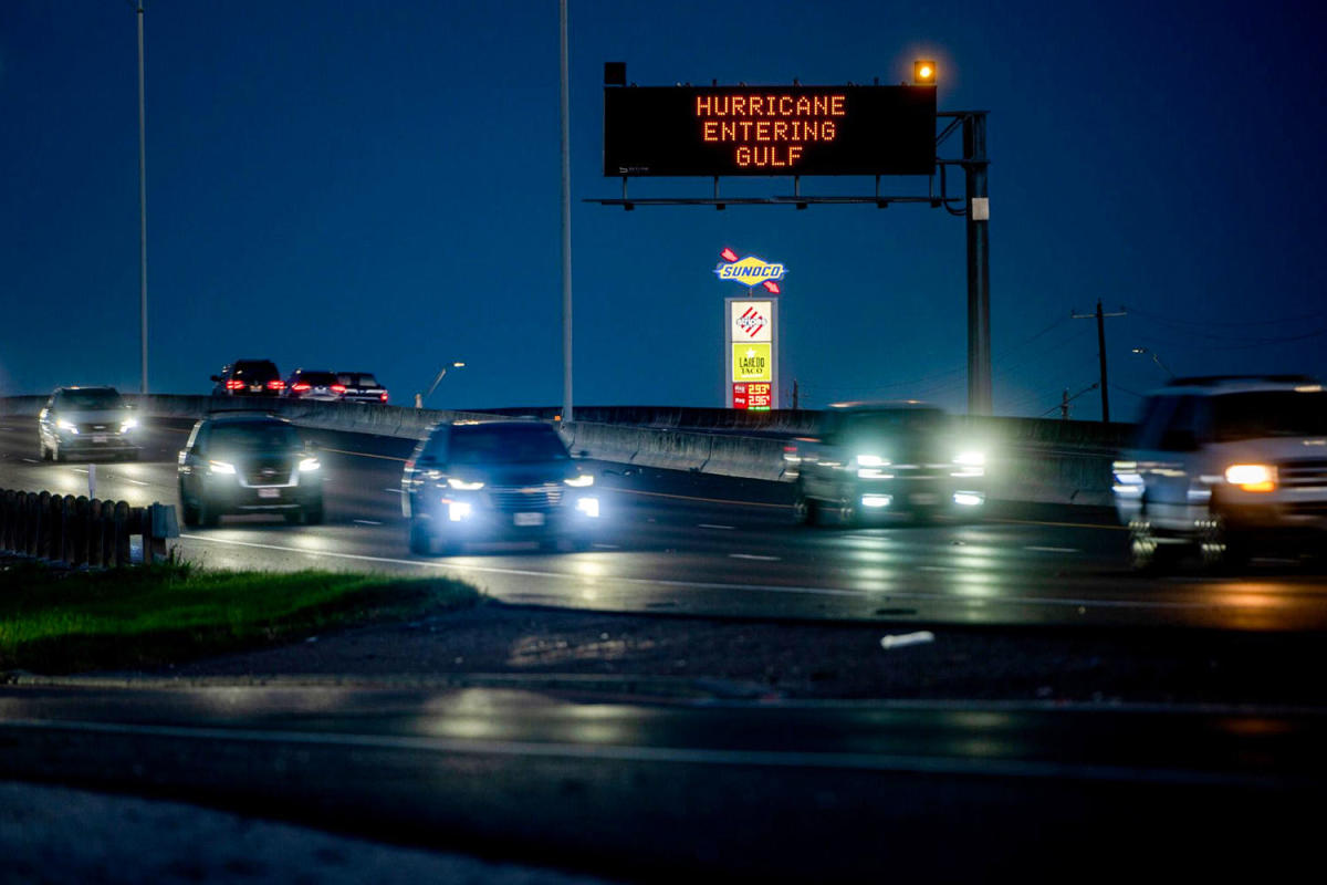
Beryl strengthened into a Category 1 hurricane Sunday night, ahead of its anticipated arrival on the Texas coast, where it could bring a life-threatening storm surge and strong winds, U.S. forecasters said.
The storm’s maximum sustained winds increased to 75 mph late Sunday, upgrading it from its status as a tropical storm, according to the National Hurricane Center, citing National Weather Service radar and reports from an Air Force Reserve hurricane hunter aircraft.
Beryl was about 65 miles south-southeast of Matagorda, Texas, and moving north-northwest at 10 mph, according to an 11 p.m. local time update from the hurricane center.
The storm, which was a Category 4 hurricane when it devastated parts of the Caribbean island nations of Grenada and St. Vincent and the Grenadines, had weakened to Category 2 by the time it made landfall Friday on Mexico’s Yucatán Peninsula. It weakened further to a tropical storm as it moved across the peninsula.
Beryl could make landfall in Texas along a stretch of coast from Baffin Bay northward to San Luis Pass, according to the hurricane center. That stretch is covered by a hurricane warning.
The National Weather Service office in Dickinson, Texas, said a likely area of landfall is the east side of Matagorda Bay, an area nearly halfway between Corpus Christi and Galveston. Timing for landfall from the hurricane center and the weather service has not been any more precise than “overnight” and “early Monday.”
Early on Sunday evening, Beryl’s spinning outer bands began to brush the Texas shoreline, according to the Corpus Christi office.
“Rain bands associated with the west side of Tropical storm Beryl will continue along the immediate coast just east of Port Aransas this evening,” the office said on social media platform X.
The storm is forecast to bring “life-threatening” storm surge up to 7 feet and “damaging hurricane-force winds” to an area along the coast from Padre Island National Seashore to Sabine Pass.
Flash flooding is also possible along parts of the middle and northern Texas coast, inland to eastern Texas, through Monday night.
“Rip currents will cause life-threatening beach conditions through Monday across much of the Gulf Coast,” the hurricane center said in an update Sunday. “Beachgoers should heed warning flags and the advice of lifeguards and local officials before venturing into the water.”
Rainfall of up to 15 inches is possible along parts of the middle and upper Texas coast and eastern Texas starting Sunday into Monday night, which may cause flash flooding.
A combination of storm surge and tide might bring dangerous flooding to normally dry areas near the coast, the center said. Matagorda Bay and the area from Port O’Connor to San Luis Pass could get 4 to 7 feet of storm surge, while Galveston Bay could get 4 to 6 feet.
“The deepest water will occur along the immediate coast near and to the right of the center, where the surge will be accompanied by large and destructive waves,” the hurricane center said. “Surge-related flooding depends on the relative timing of the surge and the tidal cycle, and can vary greatly over short distances.”
Troopers from the Texas Department of Public Safety were filling sandbags in south Texas for residents Friday in preparation. A TikToker shared images of houses with boarded-up windows in south Texas.
Lt. Gov. Dan Patrick said Sunday that 121 counties are under state disaster declarations in anticipation of damage.
“Now is the time for Texans to make their final preparations to protect themselves and their property,” he said in a statement.
The Houston Independent School District announced that it is closing all campuses Monday and Tuesday because of Beryl.
Beryl is expected to take a turn northeastward Monday “and move farther inland over eastern Texas and Arkansas late Monday and Tuesday,” according to the hurricane center.
This article was originally published on NBCNews.com
EMEA Tribune is not involved in this news article, it is taken from our partners and or from the News Agencies. Copyright and Credit go to the News Agencies, email news@emeatribune.com Follow our WhatsApp verified Channel


