Tracking the arctic cold front that brings dangerous wind chills and snow showers to parts of the area
The Arctic cold front arrives by sunset Wednesday afternoon
Snow showers hit parts of the area late Wednesday afternoon then transition to bursts of heavier lake effect snow.
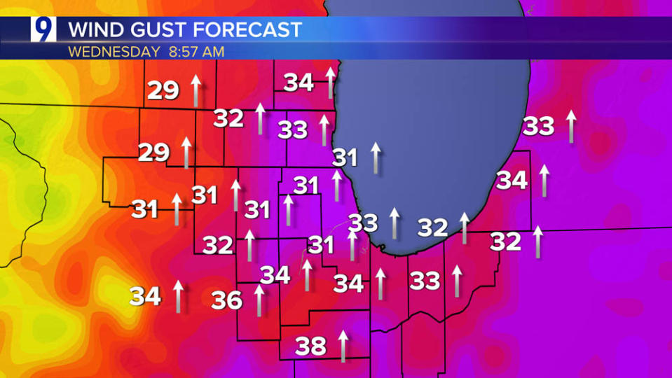
Peak wind gusts reach/exceed 40 mph at times before slowly dropping off Thursday afternoon
Arctic chill arrives on gusty winds—but a break from the cold is due this weekend when temperatures top 40 degrees
Chicago wind forecast next five days: direction and peak gusts
Tracking the pattern change as milder, Pacific-origin air by this weekend and overall milder pattern next week
Forecast average temperature anomaly through Thursday, Dec. 7

Forecast average temperature anomaly Dec. 8-12

Forecast average temperature anomaly Dec. 13-17

Copyright 2024 Nexstar Media, Inc. All rights reserved. This material may not be published, broadcast, rewritten, or redistributed.
For the latest news, weather, sports, and streaming video, head to WGN-TV.
EMEA Tribune is not involved in this news article, it is taken from our partners and or from the News Agencies. Copyright and Credit go to the News Agencies, email news@emeatribune.com Follow our WhatsApp verified Channel


