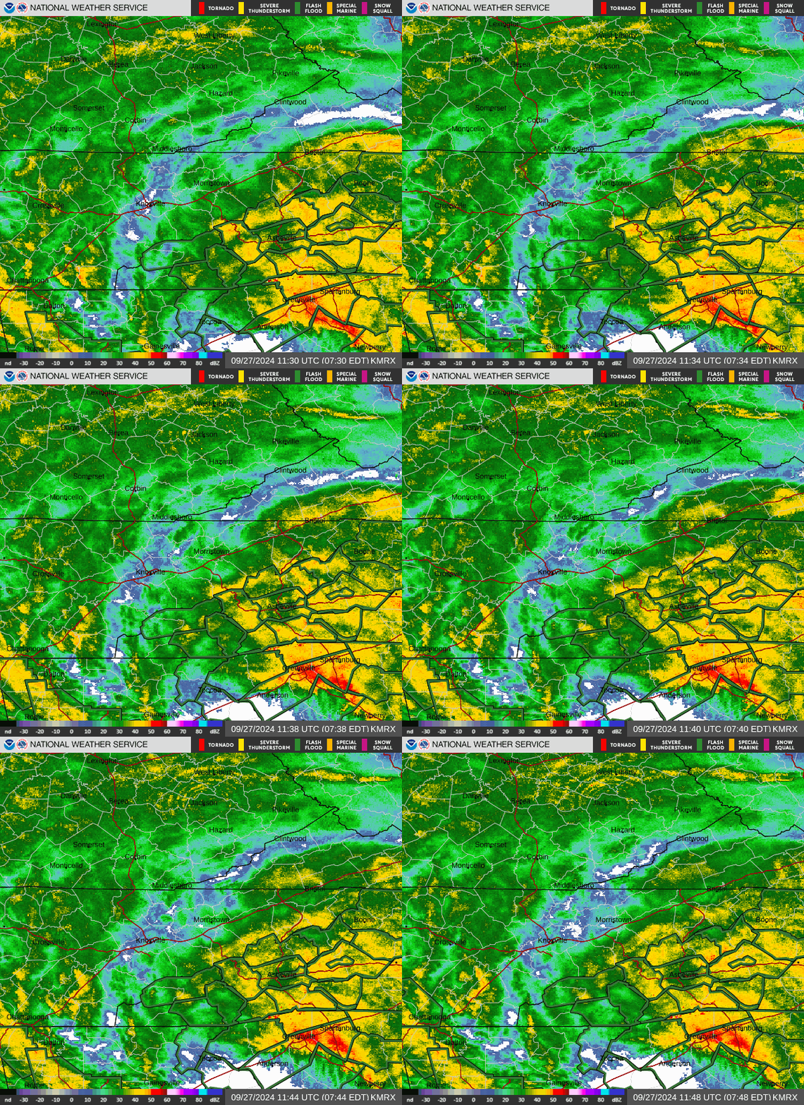
Communities across Tennessee could experience heavy rainfall, strong wind gusts and flash flooding through Friday morning as the remnants of Hurricane Helene move through the area.
The remnants of the Category 4 storm will move north from the Florida coast and into East Tennessee before curving northwest across southeast Tennessee, according to the National Weather Service in Morristown.
“The main concerns with this system for us will be heavy rain/flooding and very strong winds,” the weather service said.
LIVE UPDATES: Hurricane Helene brings rain, flooding and gusty winds to Knoxville
The weather service’s Friday morning report states that Hurricane Helene’s remnants will mainly bring tropical downpours this morning. Flash flooding will be possible with an additional 2 to 4 inches expected in some places.
A flood watch is in effect for East and Middle Tennessee through Saturday morning.
Hurricane tracker: See Helene’s projected path
East Tennessee, Knoxville weather radar

Weather warnings across Tennessee
Tennessee power outages
Hurricane Helene damage reports
This article originally appeared on Knoxville News Sentinel: Helene in Tennessee: Track flood warnings, power outages, storm damage
EMEA Tribune is not involved in this news article, it is taken from our partners and or from the News Agencies. Copyright and Credit go to the News Agencies, email news@emeatribune.com Follow our WhatsApp verified Channel


