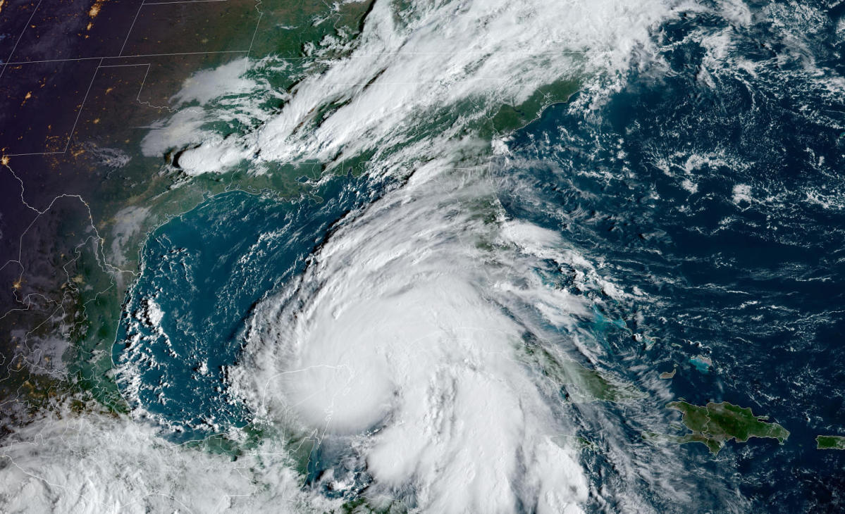
Tropical Storm Helene’s strengthend to a hurricane Wednesday, as it churns it ways toward the U.S.
Forecasters anticipate the storm will make landfall as a major hurricane Thursday along the Big Bend or Panhandle area of Florida.
Helene is expected to become a massive hurricane, potentially growing into a Category 4 storm. Forecasters are warning that it could have a wind swath more than 400 miles wide.
Follow live updates on Hurricane Helene
Florida, Georgia, North Carolina and South Carolina have declared emergencies ahead of the storm.
Officials are urging residents to take precautions ahead of Helene’s landfall, and evacuations have been ordered in places along Florida’s west and northwestern coasts.
Potential flooding is a concern in North Carolina, Georgia and South Carolina.
The system became a tropical storm Tuesday in the western Caribbean Sea and caused flooding in the Cayman Islands.
This article was originally published on NBCNews.com
EMEA Tribune is not involved in this news article, it is taken from our partners and or from the News Agencies. Copyright and Credit go to the News Agencies, email news@emeatribune.com Follow our WhatsApp verified Channel


