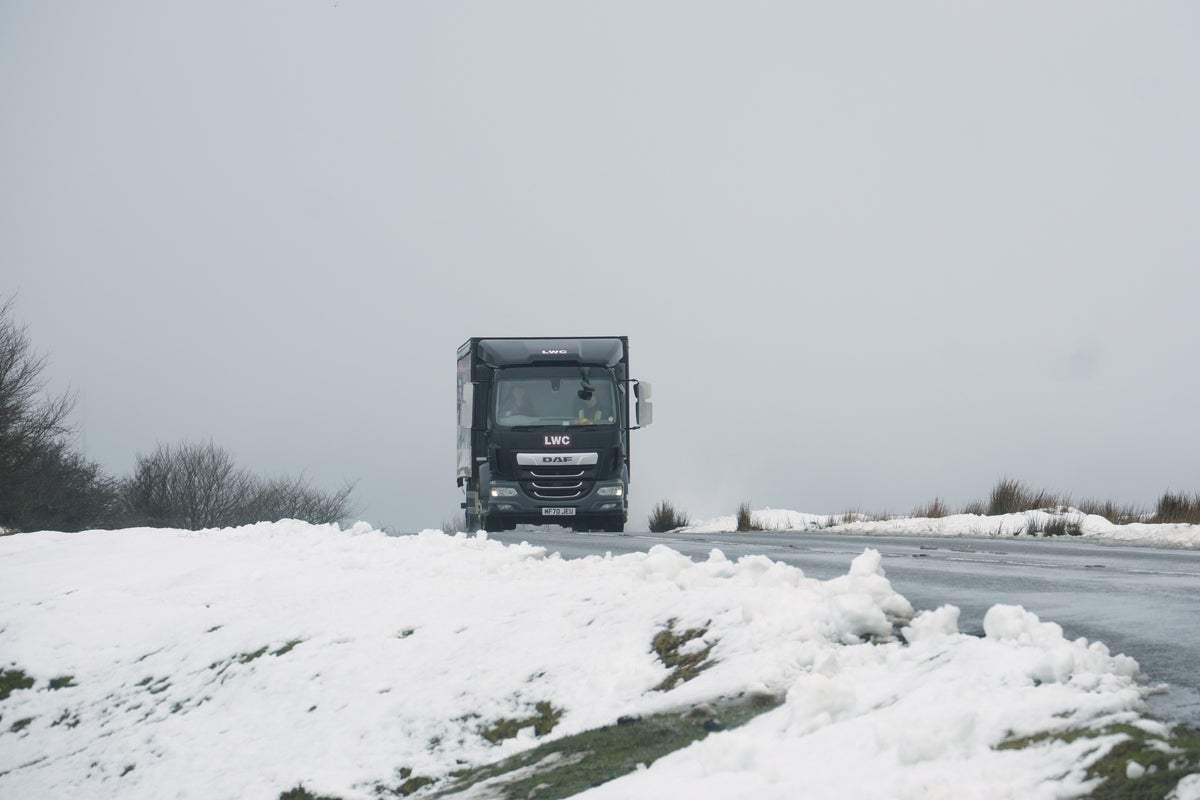
The Met Office has extended a severe weather warning of snow and ice for the UK.
It comes after wintry conditions that were expected to largely affect northern parts of the country spread further south.
Snow and ice warnings have been given for parts of the UK for the beginning of this week.
There is a yellow warning for snow and ice in northern Scotland from 4pm on Sunday until 11am on Monday.
The Met Office has also issued a yellow warning for parts of northern England and southern Scotland on Monday and Tuesday, with up to 20cm (around 8in) of snow possible on higher ground.
There is a small chance of up to 10cm (4in) of snow settling at lower levels, which could prove disruptive, forecasters said.
The warning covers much of southern Scotland and north-east England, parts of Yorkshire, and parts of north-west England, including Lancashire and Cumbria, and is in force from 10am on Monday until 10am on Tuesday.
The England warning is from just over border at its north and goes as far south as Nottingham, taking in north Wales.
London is not set for snow this week, but will see highs of a mere 5C and then 4C on Wednesday and Thursday respectively, according to BBC Weather.
Those days will at least be sunny, as rain has been forecast for London on Monday, Tuesday, and all of next weekend (November 23-24).
The Met Office has given a yellow warning for Sunday, Monday and Tuesday. The warning covers the far north of Scotland and islands on Sunday and again on Monday with the north of England also affected. On Tuesday it is just in the north of England. stretching as far south as Nottingham.
“A period of rain, sleet and snow will occur during Monday evening, overnight into Tuesday morning,” a Met Office spokesman offered.
“The most likely scenario is for most of the snow to accumulate on hills, with 5 to 10 cm possible above 200 metres and perhaps as much as 15 to 20 cm above 300 metres.
“There is a small chance of snow settling at lower levels, where 5 to 10 cm would prove much more disruptive, but this remains very uncertain.
“As rain, sleet and snow clear on Tuesday morning, ice may form on untreated surfaces.”
The Met Office said there is a low likelihood of it causing major disruption.
EMEA Tribune is not involved in this news article, it is taken from our partners and or from the News Agencies. Copyright and Credit go to the News Agencies, email news@emeatribune.com Follow our WhatsApp verified Channel


