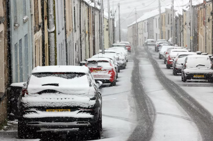
The Met Office has warned there could be the risk of snow showers as temperatures drop in the UK. The first few weeks of the new year has seen a mixture of cold weather, foggy and snowy conditions for some parts of Wales and the UK.
And it looks like these wintery conditions aren’t clearing anytime soon. According to the Met Office’s UK long-range weather forecast, we could some snow in the next coming weeks. It should be noted that, as the Met Office has stated in the past, even its long range weather forecast isn’t as “detailed” as its five-day forecast. For the latest Welsh news delivered to your inbox sign up to our newsletter.
According to the agency, it gives a “broad description” of what we can expect and different factors can attribute to a change in the weather forecast. For the period between Monday, January 20 to Wednesday January 29, the forecast agency says the early part of the week could see some dry weather with “variable amounts” of cloud and often light winds.
ADVERTISEMENT
READ MORE: Met Office issues 15-hour weather warning for Wales
READ MORE: Cardiff student sexually assaults customer hours after starting job at uni bar
It adds: “The greatest chance of any rain is likely to be in the far northwest of the UK, and possibly as well in the far south. There is a small chance rain could become more widespread, and temperatures are expected to be around average.
“Later in the week, periods of much wetter and windier weather will most likely eventually become more prevalent, from northwest to southeast. Ahead of this a colder, more settled southeasterly wind may develop for a time. There is a small chance however, that alternatively winds could turn much more easterly, and colder, bring the risk of snow showers.”
And as for the period between Thursday, January 30 and Thursday, February 13, there could also be a further chance of snow. For this period, it says: “A dominant flow from the Atlantic looks likely through this period, resulting in an unsettled, milder and windier than average period.
“This is likely to result in areas of rain and periods of stronger winds affecting most if not all parts of the UK at times, though with the wettest and windiest weather probably occurring towards the north and west. However, the potential for brief colder spells with associated frost, ice and snow remains, following any deep lows crossing the region.”
EMEA Tribune is not involved in this news article, it is taken from our partners and or from the News Agencies. Copyright and Credit go to the News Agencies, email news@emeatribune.com Follow our WhatsApp verified Channel


