It’s not a hurricane, and it’s not even a tropical storm any more, but the remnants of what was Tropical Storm Sara are expected to have an impact across much of Florida today.
A cold front moving through the state is pulling moisture associated with what was Sara into the state.
“This strong cold front will bring the coldest temperatures the state has seen since the winter months earlier this year,” according to the Florida Division of Emergency Management.
Advertisement
Advertisement
➤ Weather alerts via text: Sign up to get updates about current storms and weather events by location
While cooler temperatures will arrive behind the front, residents today will face rain, thunderstorms, gusty winds, dangerous rip currents and even the potential for isolated tornadoes.
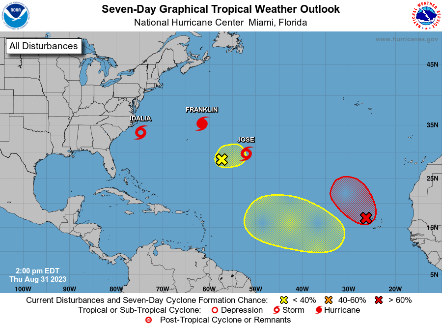
Elsewhere in the tropics, the National Hurricane Center is showing no tropical activity is expected over the next seven days, which almost brings us to the official end of hurricane season on Nov. 30.
Of course, that doesn’t mean tropical storms or even hurricanes can’t develop after that date. It has happened, but chances drop off sharply at the end of the month.
Advertisement
Advertisement
The National Hurricane Center stops issuing its twice-daily tropical outlooks Nov. 30, although it does ramp back into action if forecasters spot something we should know about.
Here’s the latest update from the NHC as of 7 a.m. Wednesday, Nov. 20:
Florida impacts expected from ‘Tropical Rainstorm Sara’
The cold front associated with Sara’s showers and thunderstorms is forecast to clear South Florida and the Keys by later Thursday, according to AccuWeather.
As is moves across the Florida peninsula Wednesday, Nov. 20, expect isolated to widely scattered showers with embedded thunderstorms from the Interstate 75 corridor south, according to the Florida Division of Emergency Management.
Advertisement
Advertisement
Breezy wind gusts of 15 to 20 mph will develop across the state this afternoon behind the passing front, with stronger gusts of 25 to 30 mph possible across near the coastal waters and immediate coastlines late in the evening and overnight.
Showers and thunderstorms will linger into the evening hours and dissipate as the system moves over the Atlantic waters.
The reinforcing cold front will continue to push through the Peninsula, which may allow for lingering showers over the Florida Keys.
Mostly dry conditions can be expected to develop Thursday and will continue through the end of the week in the wake of the strong cold front.
Advertisement
Advertisement
The front “will bring the chilliest air of the season so far across the Southeast,” according to AccuWeather.
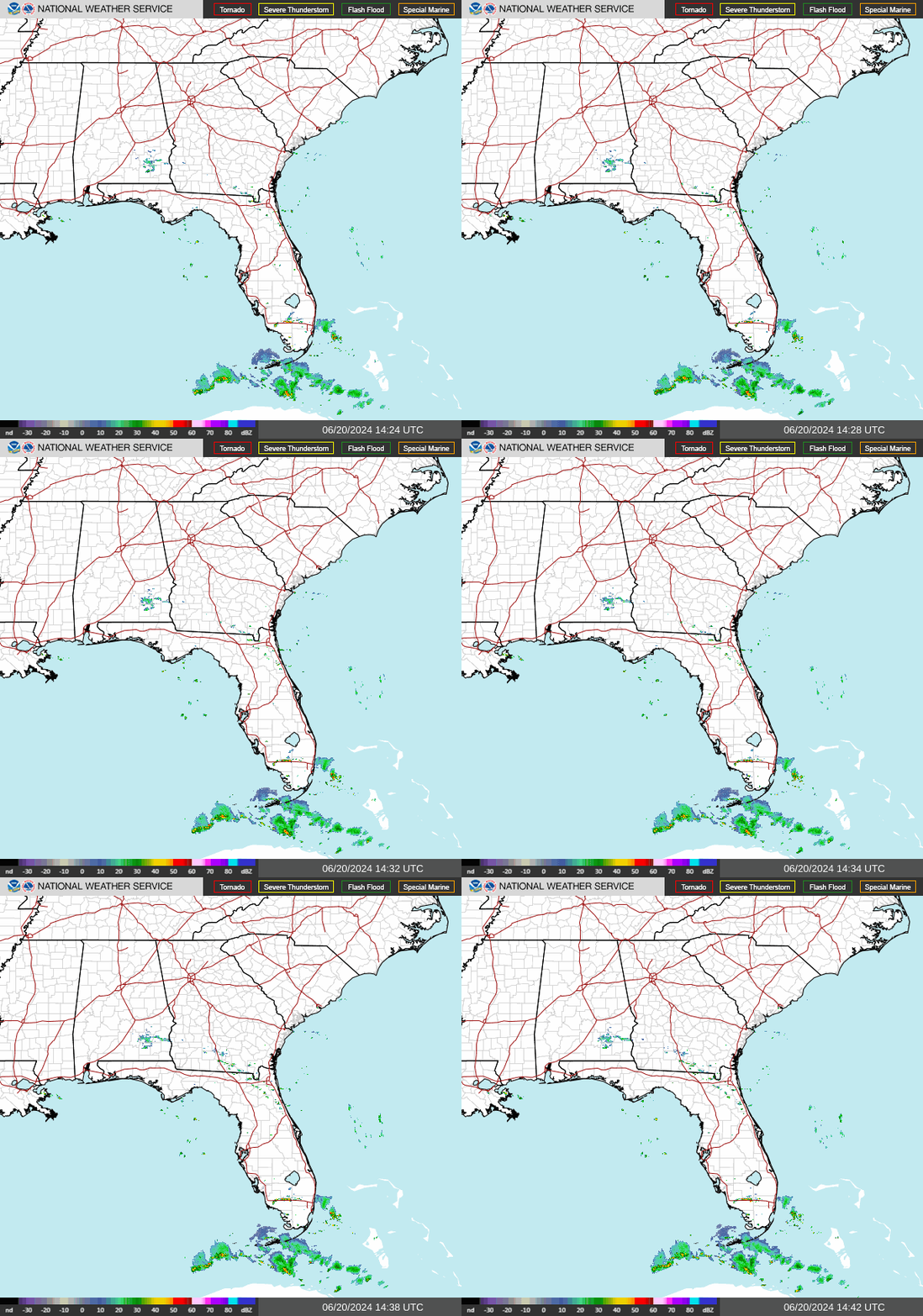
Weather radar: Track storms as they move through Florida

What else is out there and how likely are they to strengthen?

There currently are no disturbances in the Atlantic basin, with the exception of the remnants of former Tropical Storm Sara. No tropical cyclones are expected over the next seven days, according to the National Hurricane Center.
The Atlantic basin consists of the northern Atlantic Ocean, Caribbean Sea and Gulf of Mexico.
Hurricanes in November: How many hurricanes have hit Florida in November? Warm oceans are increasing the odds
Countdown clock: When will hurricane season end?
The official Atlantic hurricane season runs from June 1 through Nov. 30, although tropical systems can develop at any time.
Advertisement
Advertisement
The Atlantic basin includes the northern Atlantic Ocean, Caribbean Sea and Gulf of Mexico.
Will Florida, US see another hurricane, tropical storm this year?
While a tropical or subtropical storm in the middle of the Atlantic Ocean is possible into early December, any U.S. impacts from additional tropical storms or hurricanes are highly unlikely for the rest of the year, DaSilva said.
As the cold front moves across Florida, it will “finally put an end to any further risk of tropical activity threatening the continental U.S. this year,” said Dr. Ryan Truchelut, chief meteorologist with WeatherTiger. Truchelut is a Florida meteorologist who works with the USA TODAY Network.
“That will usher in temps with highs in the 60s and lows in the 40s for north and central Florida — the first taste of Florida winter after a summery fall.”
Weather watches and warnings issued in Florida
Stay informed. Get weather alerts via text
Interactive map: Hurricanes, tropical storms that have passed near your city
Excessive rainfall forecast
What’s next?
We will continue to update our tropical weather coverage daily. Download your local site’s app to ensure you’re always connected to the news. And look for our special subscription offers here.
This article originally appeared on Florida Times-Union: Florida weather forecast, radar. Cold front, Tropical Storm Sara
EMEA Tribune is not involved in this news article, it is taken from our partners and or from the News Agencies. Copyright and Credit go to the News Agencies, email news@emeatribune.com Follow our WhatsApp verified Channel


