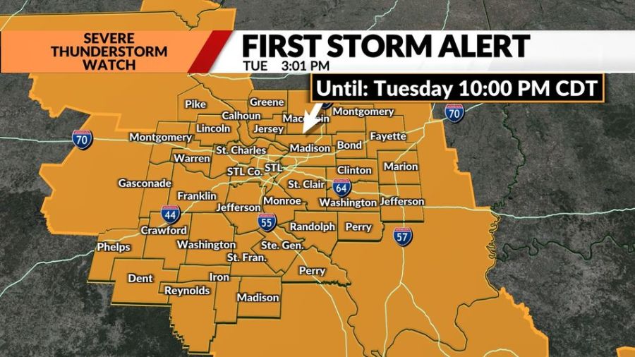
ST. LOUIS — The rain cooled boundary from storms in Illinois will set the path for the next wave of storms forming in Iowa this morning. Those storms will follow the boundary, roughly down the Mississippi River, into the St. Louis region and much of southern Illinois this afternoon.
The entire viewing area has been placed under a severe thunderstorm watch until 10 p.m. Tuesday.
The prime time for storms will be in the 3 p.m. to 8 p.m. range, spreading from northwest to southeast. The highest risk for storms will be near and east of the Mississippi River, although a good chance for storms exists as far west as Hermann and Park Hills, Missouri.
St. Louis radar: See a map of current weather here
There may be damaging winds of 70+ mph, smaller, short-duration tornadoes and excessive rainfall that could result in flash flooding. The risk level for severe storms ranges from Level 2 to Level 3 across the region, with the highest risk generally near and north of I-70 and along the Mississippi River.
A second wave of storms is possible late tonight, after midnight. But that wave is much more uncertain. It depends on how the afternoon storms pull together.
Copyright 2024 Nexstar Media, Inc. All rights reserved. This material may not be published, broadcast, rewritten, or redistributed.
For the latest news, weather, sports, and streaming video, head to FOX 2.
EMEA Tribune is not involved in this news article, it is taken from our partners and or from the News Agencies. Copyright and Credit go to the News Agencies, email news@emeatribune.com Follow our WhatsApp verified Channel


