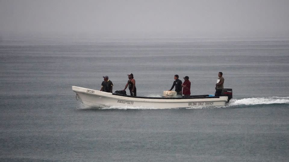
Hurricane John struck Mexico’s southern coast on Monday night as a Category 3 storm after rapidly strengthening in the Pacific, triggering warnings of “life-threatening” floods and mudslides.
John hit the coast with maximum sustained winds of 120 mph (193 kph) as it made landfall south-southwest of the city of Marquelia in Guerrero state at around 9:15 p.m. local time, according to the National Hurricane Center.
John has since weakened to a tropical storm and is slowing as it moves northwest of the coastal city of Acapulco in Oaxaca state. Its slow movement and interaction with nearby mountains will likely contribute to “catastrophic rainfall both along the coast and inland,” according to the National Hurricane Center.
Just a day earlier, the storm had top-end winds of 35 mph (56 kph), but it underwent two rapid intensifications in a 24-hour period, ramping up its speed more than three-fold.
The storm could re-emerge across the ocean and re-intensify as its center is “skirting the southern coast of Mexico.” Regardless of its erratic movement, John will continue to produce intense rainfall and life-threatening flash flooding along southern Mexico for the next few days.

Oaxaca’s governor said the state government had evacuated 3,000 people and set up 80 shelters, while authorities had suspended classes in several costal zones on Tuesday, the Associated Press reported.
Businesses in Puerto Escondido, a tourist destination in the southern part of the state, have closed after authorities ordered the suspension of all work on the area’s main beaches, the news agency reported.
Ana Aldai, who works for a restaurant there, told AP she was “a little bit distressed” because notice from authorities came quickly.

“There was no opportunity to make the necessary purchases,” she said.
The government of Mexico has as changed the hurricane warning from east of Acapulco to Lagunas de Chacahua to a tropical storm warning. All hurricane warnings have been discontinued.
Torrential, rainfall of 6 to 12 inches, with isolated totals around 15 inches are expected across coastal areas of Chiapas. In areas along and near the Oaxaca coast to southeast Guerrero, between 10 and 20 inches of rain with isolated totals near 30 inches can be expected through Thursday. The rainfall is likely to cause significant flash flooding and trigger mudslides along the rugged terrain.
For more CNN news and newsletters create an account at CNN.com
EMEA Tribune is not involved in this news article, it is taken from our partners and or from the News Agencies. Copyright and Credit go to the News Agencies, email news@emeatribune.com Follow our WhatsApp verified Channel


