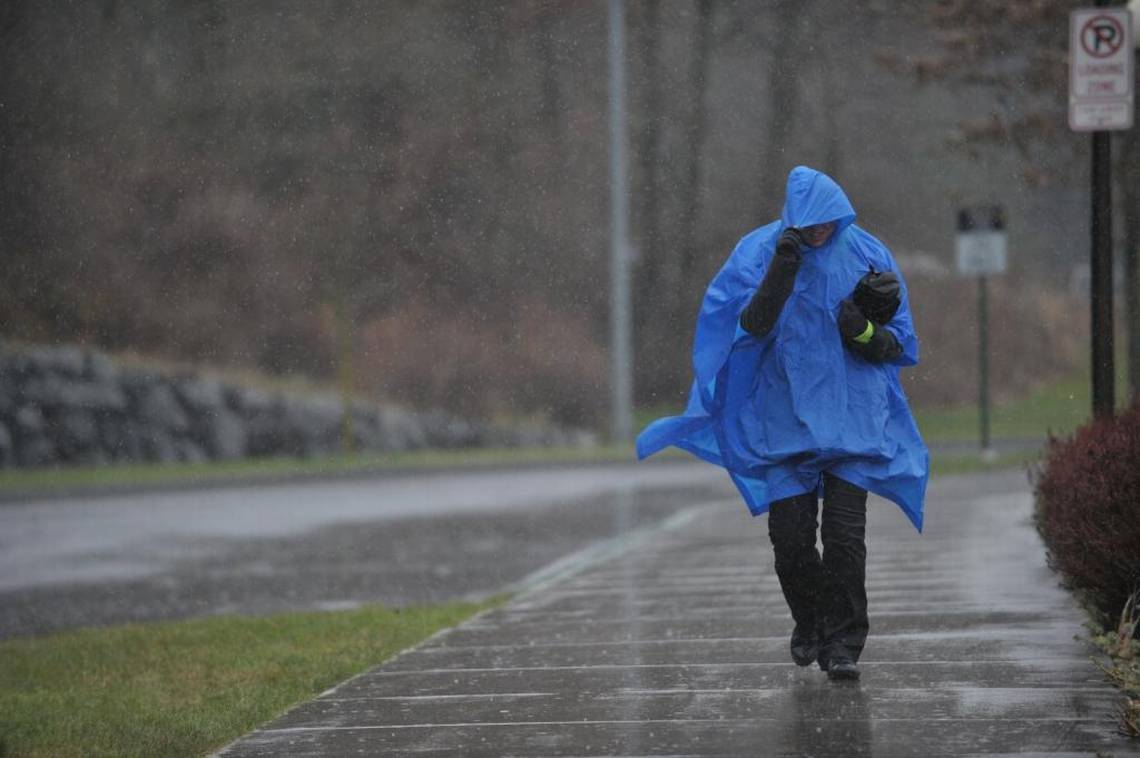
A storm that will bring strong winds to Washington state has been intensifying quickly off the Pacific coast. According to Maddie Kristell, a meteorologist with the National Weather Service in Seattle, the storm will reach levels that are rarely seen in the region at this time of year.
“We do have an anomalously strong low pressure system offshore. It has deepened its intensity, dropped pressure pretty significantly in the core of it,” Kristell said in a phone call with McClatchy.
In an interview with KIRO Newsradio, University of Washington atmospheric sciences professor Cliff Mass said that the system is approaching the strength of a hurricane. However, Kristell said that NWS’s forecasts suggest Washington will likely be spared the storm’s worst effects.
Advertisement
Advertisement
“It does remain offshore. The track does seem to take it closer to northwestern Vancouver Island, so we’re not looking at a direct impact of the lowest pressure on our shores,” Kristell said.
Storm to bring strong winds to WA
But that doesn’t mean Washington will be completely in the clear. According to Kristell, gusts of wind will approach 65 miles an hour in parts of the state.
“Certainly through the Strait of Juan de Fuca and along the coast, that’s where we’re going to see our strongest winds, where sustained winds could be between 30 and 35 miles per hour, with gusts between 60 and 65 miles an hour,” Kristell said. “The lowlands and up through the Bellingham area will probably see gusts more in the 35, 40 miles an hour range.”
The storm is expected to hit Washington the afternoon of Tuesday, Nov. 19, around 4 or 5 p.m., and will last until the following morning, according to Kristell.
A powerful storm system will bring heavy mountain snowfall, rain, and high winds to the Pacific Northwest and Northern California through midweek. Numerous flash floods, hazardous travel, power outages, and tree damage can be expected as the storm reaches max intensity on Wed. pic.twitter.com/iFrmuUZfj7
— NWS Weather Prediction Center (@NWSWPC) November 18, 2024
What is a bomb cyclone?
Several reports have referred to the storm as a bomb cyclone. The term refers to a storm that intensifies incredibly quickly. For a pressure system to be considered a bomb cyclone, it needs to drop 24 millibars within a 24-hour period.
Advertisement
Advertisement
According to Kristell, it’s unclear whether the storm approaching Washington meets that definition.
“We haven’t been following the exact amount that it’s dropped,” Kristell said. “It definitely could have, because it’s a lower area of pressure than we typically see.
Additionally, Kristell said that at lower latitudes, a lower drop in pressure can still effectively amount to a bomb cyclone.
“That definition of the 24 millibar drop in 24 hours is a rule of thumb that’s normalized to 60 degrees north in latitude,” Kristell said. “We’re not sitting up there, we do have to take that definition with a little bit of a grain of salt for where we’re sitting at in the latitude.”
Will WA have flooding this week?
NWS has already issued both wind and flood advisories for the areas that will be affected by the storm. According to Kristell, while the storm will bring some rain, water levels aren’t as much of a concern. The coast could see flooding, but wind will likely be the primary effect of the storm on the Puget Sound region.
“Wind will be our primary concern on this one,” Kristell said. “There will still be some rain with it, but the focus of the rain is actually more to our south.”
EMEA Tribune is not involved in this news article, it is taken from our partners and or from the News Agencies. Copyright and Credit go to the News Agencies, email news@emeatribune.com Follow our WhatsApp verified Channel


