A Severe Thunderstorm Warning has been issued for Champaign and Clark counties until 5:00 p.m.
A Tornado Warning has been issued for Champaign County until 4:45 p.m.
A Severe Thunderstorm Warning has been issued for Champaign County until 4:45 p.m.
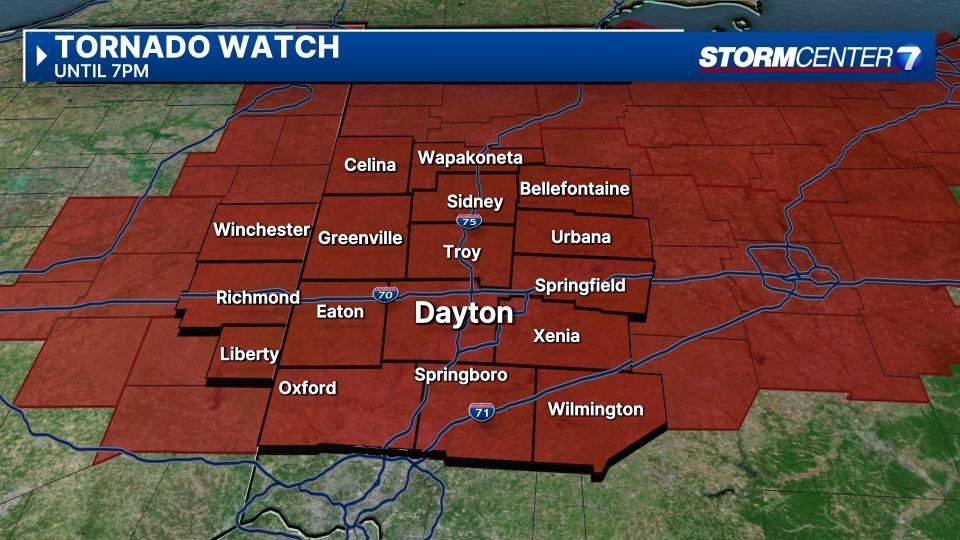
A Tornado Watch has been issued for Champaign, Clark, Clinton, Greene, Logan, Miami, Montgomery, Shelby, and Warren counties in Ohio, as well as Union and Wayne counties in Indiana until 7 p.m.

QUICK-LOOK FORECAST:
Strong to severe storms possible today
Colder air attempts to return to the Valley
Frost concerns this weekend
Storm Center 7 Chief Meteorologist Austin Chaney continues to track this system and will have the latest starting later today at 5 p.m. on News Center 7.
>>TRACK THE LATEST CONDITIONS: Live Doppler 7 Radar
DETAILED FORECAST:
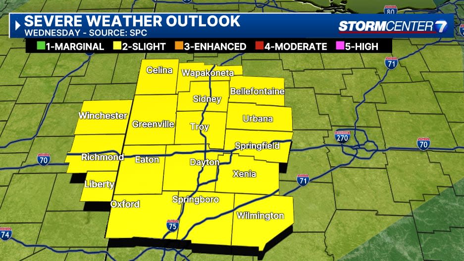
WEDNESDAY: Wednesday brings the chance, but not guaranteed, risk for severe weather, according to Storm Center 7 Meteorologist Britley Ritz.
After morning showers clear out, we’ll have some dry time. This should allow the atmosphere to recover and support additional storms during the afternoon.
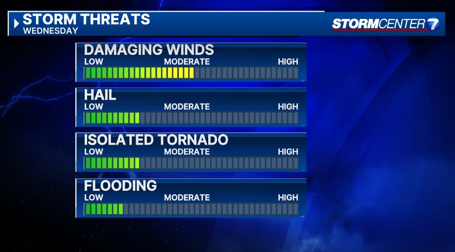
If we have enough recovery time, the afternoon storms could be strong to severe. The SPC is giving the Miami Valley a 2/5 risk for severe storms. A
ll hazards would be possible should that afternoon round materialize including damaging winds, hail, and the possibility of an isolated tornado. High temperatures will be warm in the middle 70s.
THURSDAY: Drying out with partly cloudy skies. Not much cooler behind the Wednesday front with highs in the mid to upper 70s.
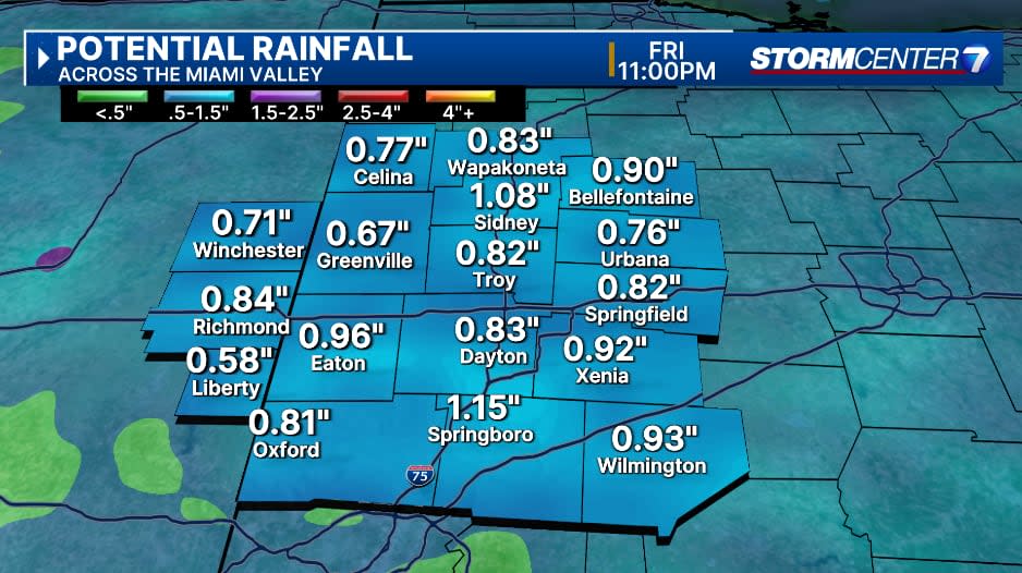
FRIDAY: A chance for early morning showers and storms. Partly cloudy with the possibility of a few more showers during the day. High temperatures in the middle 60s.
SATURDAY: Partly cloudy, cool, and dry. Highs in the upper 50s
SUNDAY: Chilly in the morning with lows in the mid-30s. We’ll have frost potential. Mostly sunny during the afternoon, but cool with highs in the mid-50s.
MONDAY: Frost is possible again during the morning. Partly cloudy and cool with another day in the 50s.
TUESDAY: Mostly cloudy with a chance for showers. Warmer with highs in the mid-60s.
EMEA Tribune is not involved in this news article, it is taken from our partners and or from the News Agencies. Copyright and Credit go to the News Agencies, email news@emeatribune.com Follow our WhatsApp verified Channel