


ORLANDO, Fla. – The National Hurricane Center is monitoring a disturbance in the Atlantic Ocean that could impact Florida this week.
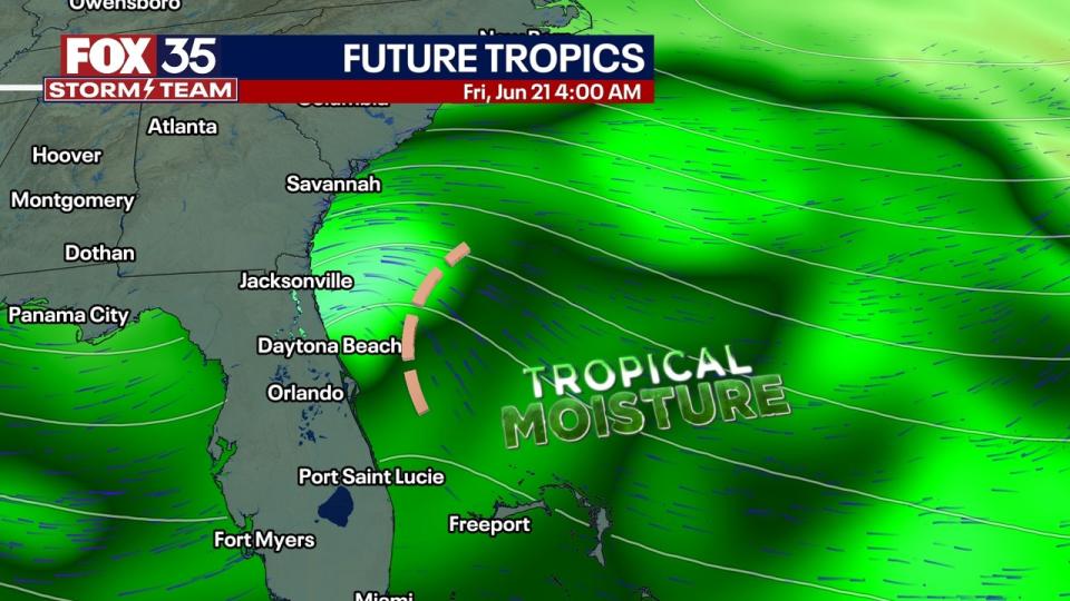
Formation isn’t likely, however. Forecasters said there’s a 30% chance of formation as it approaches Northeast Florida by late Thursday or early Friday.
“It will come with some showers and storms. At this time, I think the risk of brief tornadoes is really hard to find,” said FOX 35 Storm Team Meteorologist Noah Bergren. “Some gusty showers, though, and a brief increase in ambient winds from Daytona to Jacksonville are possible.”
Despite this, Melbourne’s National Weather Service office reports that the area of showers and thunderstorms currently east of the Bahamas is expected to bring some showers and winds to the Florida coast as it approaches the southeast U.S. in the second half of this week.
The NWS added that windy conditions are expected to persist, with the possibility of a few lightning storms in the afternoon.
At the beach, forecasters said to expect large breaking waves and a high risk of rip currents.

“Entering the waters is strongly discouraged,” the NWS said.
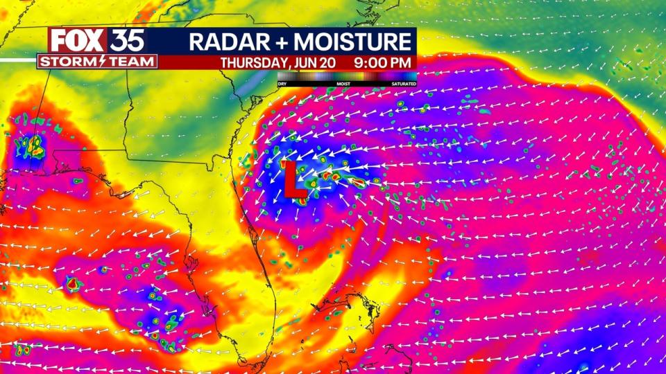
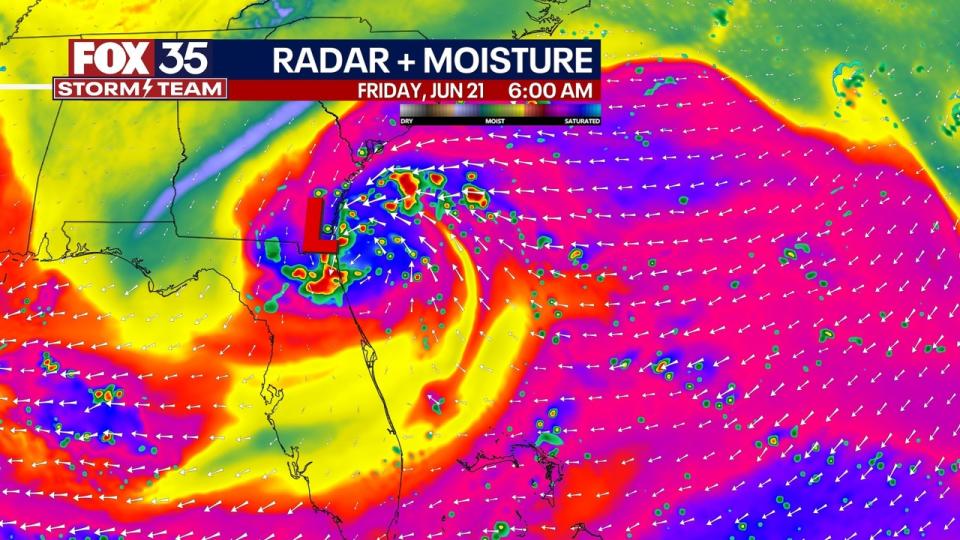
9:45PM 6/19 | We continue to monitor weak low pressure in the Atlantic, nearly 500 miles to our east. While the chance of tropical development is low, it will deliver more unsettled, windy weather to portions of East Central Florida late tomorrow – early Fri. #FLwx pic.twitter.com/fPtsGhNowB
— NWS Melbourne (@NWSMelbourne) June 20, 2024
As Invest #92L swirls towards NE FL late Thursday into Friday, it will come with some showers and storms. At this time I think the risk of any brief tornadoes is really hard to find. Some gusty showers though and a brief increase in ambient winds from Daytona to Jacksonville. pic.twitter.com/JSkiC2IGNm
— Noah Bergren (@NbergWX) June 20, 2024
This isn’t the only thing the National Hurricane Center is keeping an eye on. Potential Tropical Cyclone One, which is expected to become Tropical Storm Alberto later on Wednesday, is currently located in the Gulf of Mexico. Another broad area of low pressure could develop over soon-to-be Tropical Storm Alberto in the Gulf. There’s a 40% chance of that happening in the next week.
EMEA Tribune is not involved in this news article, it is taken from our partners and or from the News Agencies. Copyright and Credit go to the News Agencies, email news@emeatribune.com Follow our WhatsApp verified Channel


